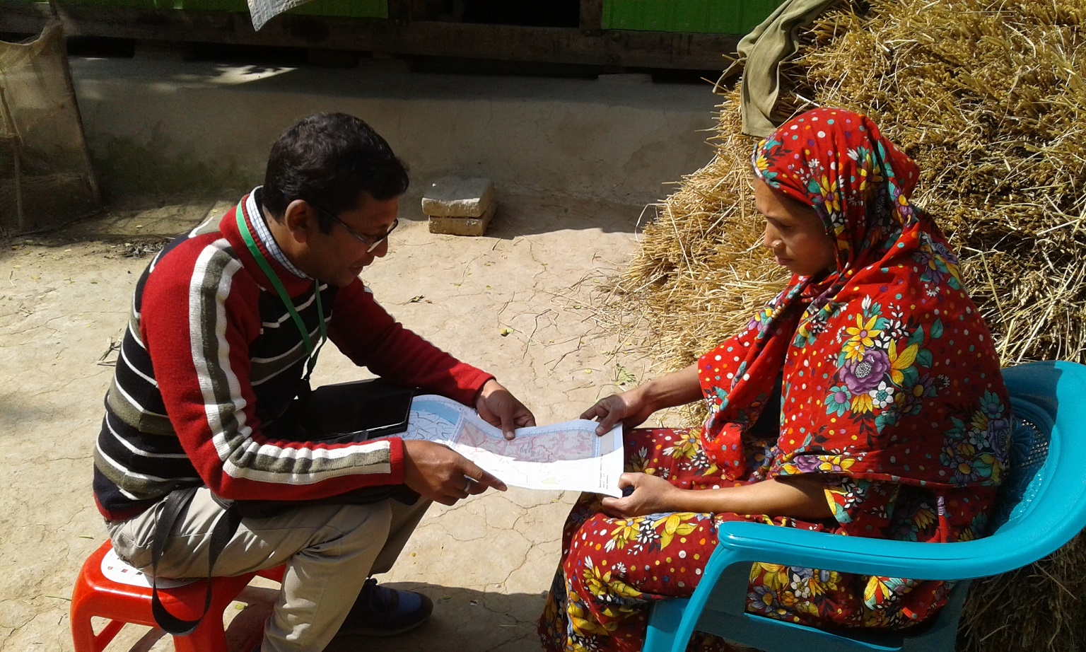
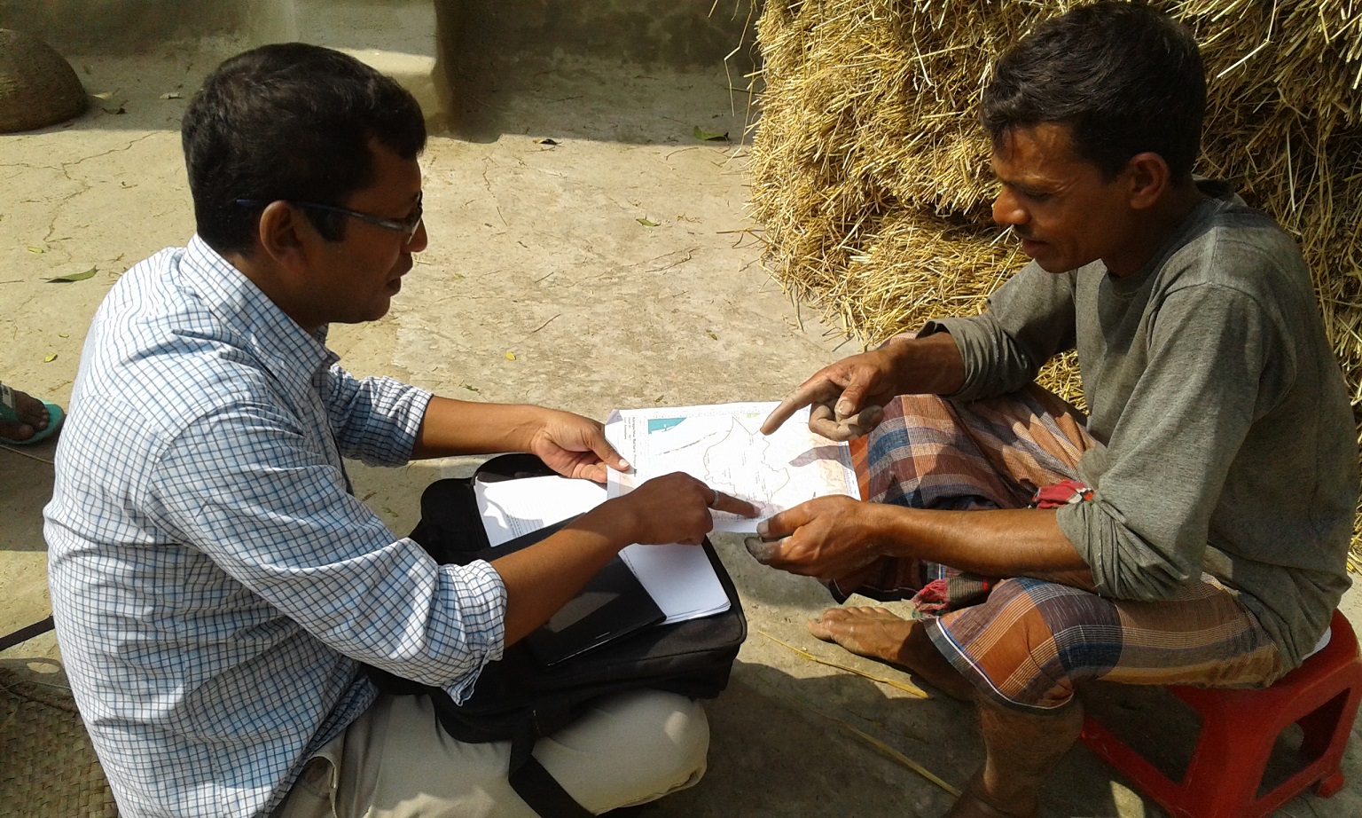
Identifying land class using satellite map in Village Post published:January 22, 2019 Post category:Bangladesh Forest Inventory / Images Views: 71 Photo credit: Nikhil Chakma Photo credit: Nikhil ChakmaPhoto credit: Nikhil Chakma Photo credit: Nikhil Chakma Previous Next Like0 Dislike0 202100cookie-checkIdentifying land class using satellite map in Villageno You Might Also Like Training workshop on GHG inventory October 10, 2016 BFI field team training November 9, 2016 Soil sampling with long auger in the Sundarbans January 22, 2019