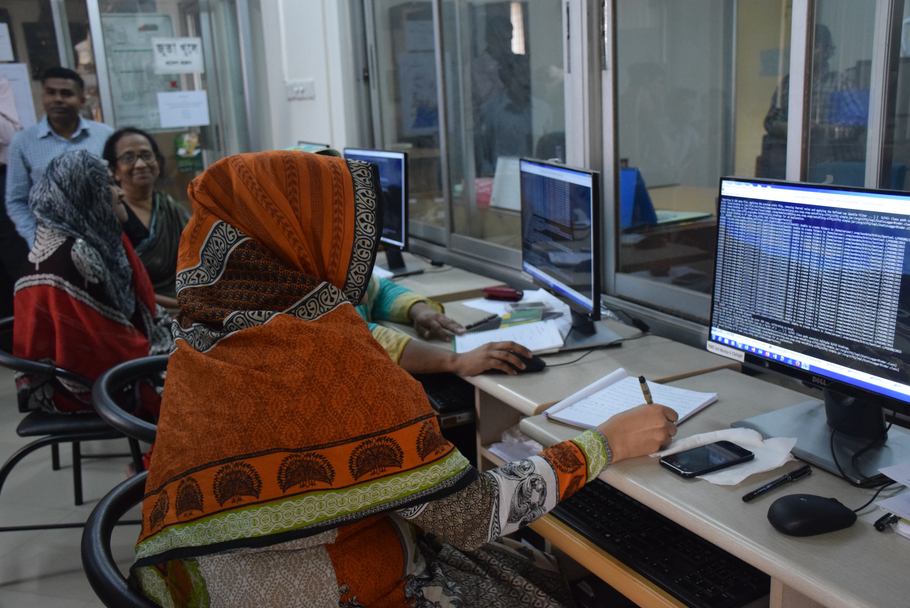
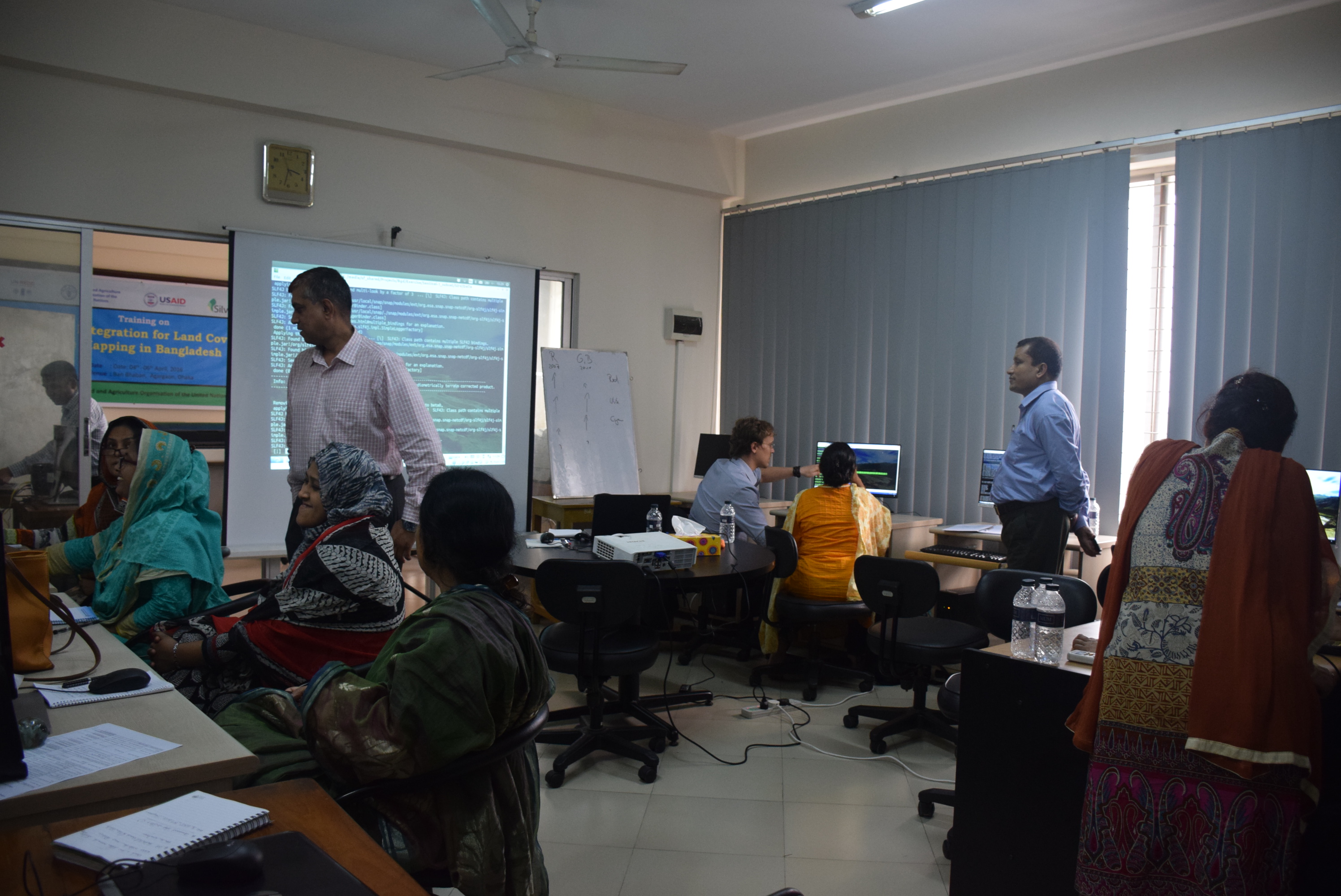
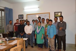
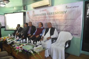
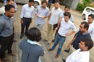
Training on integration for land cover mapping in Bangladesh Post published:April 6, 2016 Post category:Capacity Building / Images Views: 207 Photo credit: BFI teamPhoto credit: BFI team Previous Next Like224 Dislike28 140800cookie-checkTraining on integration for land cover mapping in Bangladeshno You Might Also Like Workshop on R Script development for BFI April 7, 2017 Launching ceremony of BFI December 10, 2016 RFID chip demonstration August 24, 2017