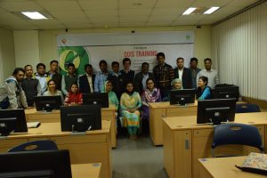
Data recording using DGPS rover in Sundarbans Post published:January 22, 2019 Post category:Bangladesh Forest Inventory / Images Views: 73 Photo credit: Matieu Henry Like224 Dislike28 197800cookie-checkData recording using DGPS rover in Sundarbansno You Might Also Like Training on QGIS training January 10, 2017 LCCS workshop December 2, 2015 Workshop training on Geodash February 29, 2016