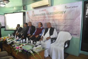
Plot attributes measurements in Sal area Tangail Post published:January 22, 2019 Post category:Bangladesh Forest Inventory / Images Views: 121 Photo credit: Mondal Falgoonee Kumar Like224 Dislike28 195800cookie-checkPlot attributes measurements in Sal area Tangailno You Might Also Like Launching ceremony of BFI December 10, 2016 Social Forestry February 4, 2016 Training on QGIS training September 21, 2016