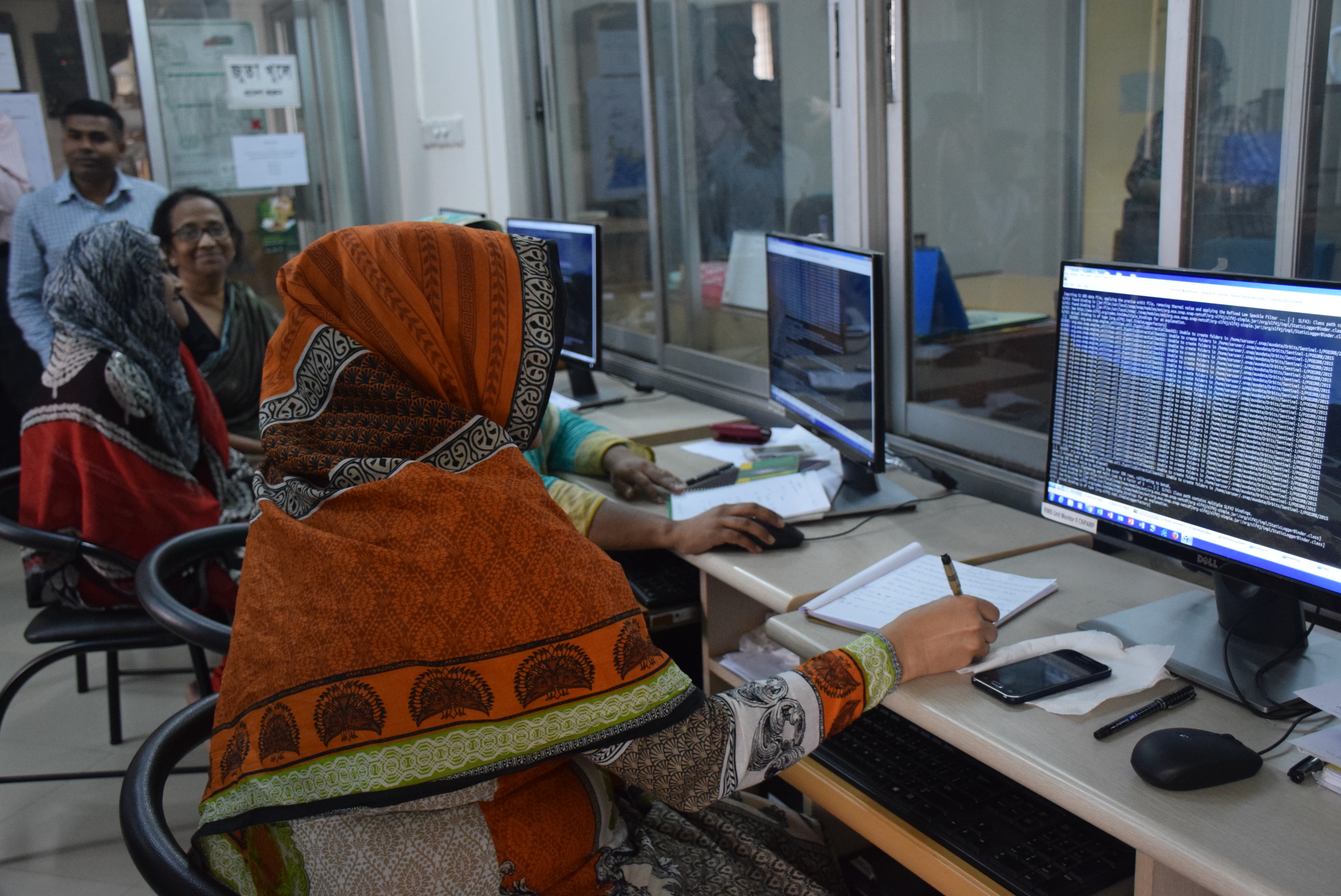
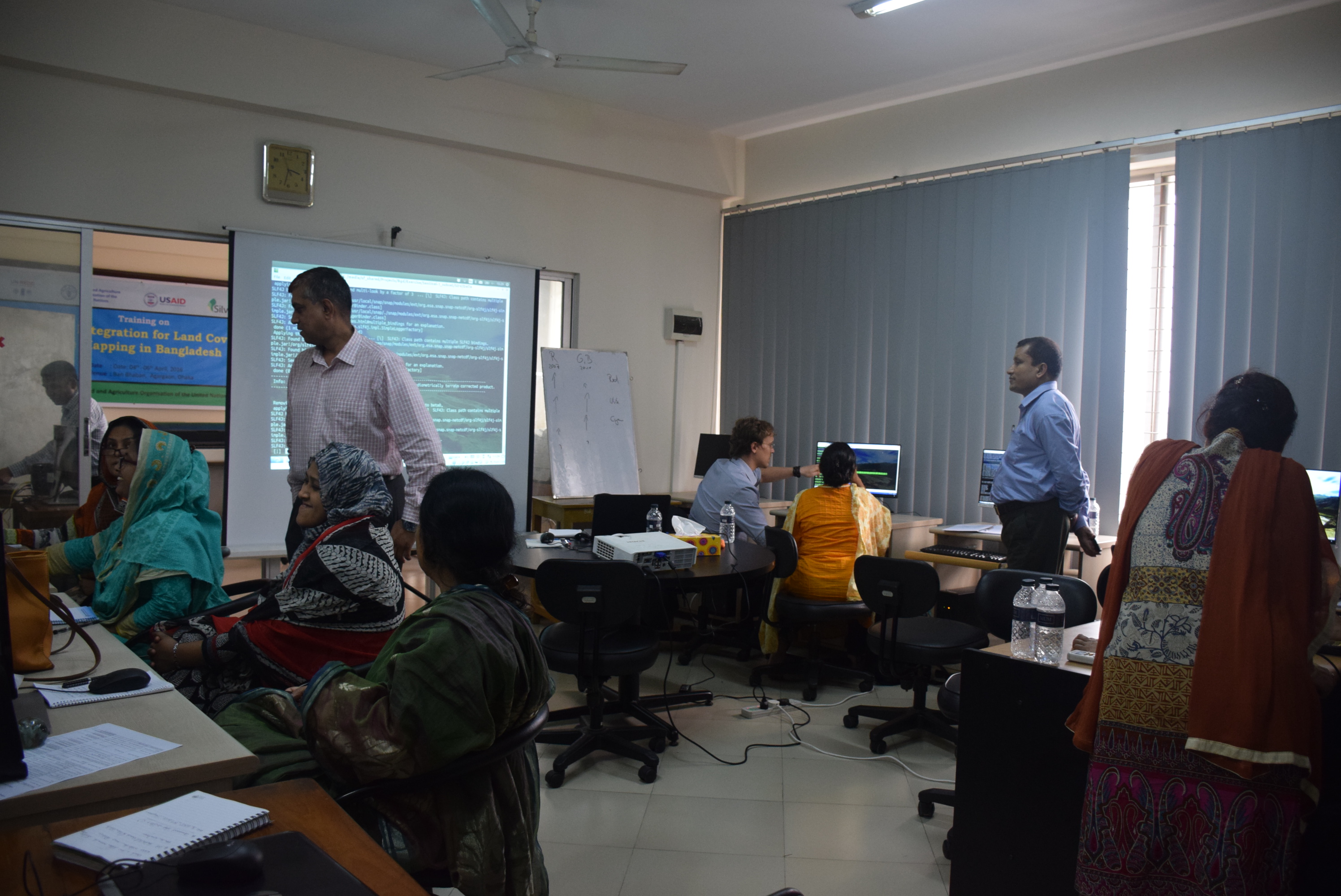
Training on integration for land cover mapping in Bangladesh Post published:April 6, 2016 Post category:Capacity Building / Images Views: 221 Photo credit: BFI teamPhoto credit: BFI team Previous Next Like224 Dislike28 140800cookie-checkTraining on integration for land cover mapping in Bangladeshno You Might Also Like QGIS training February 9, 2017 Interactive Discussion on Forest reference Emission Level February 26, 2017 National Consultation on Forest Boundary digitization April 12, 2016