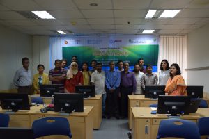
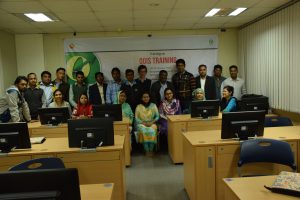
Skip to content
gov

BFIS e-Multimedia

  • HOME
  • IMAGES
  • VIDEOS
  • BFIS
FD_logo

Images

  1. Home>
  2. 2016>
  3. September>
  4. 21>
  5. Images>
  6. Training on QGIS training

Training on QGIS training

  • Post published:September 21, 2016
  • Post category:Capacity Building / Images
Views: 51
Photo credit: BFI team
Previous
Next
148600cookie-checkTraining on QGIS trainingno

You Might Also Like

Training workshop on GHG inventory

Training workshop on GHG inventory

October 10, 2016
Plot attributes measurements in Sal area Tangail

Plot attributes measurements in Sal area Tangail

January 22, 2019
Training on QGIS training

Training on QGIS training

January 10, 2017

Search by Yearly

Categories

Project Name

  • UN-REDD (22)
  • NFI (113)

Recent Posts

  • Technology for better understanding Plant Richness in Bangladesh (BGD Trees)
  • Building tree allometric models for improved national forest estimates in Bangladesh
  • BFI Photo Log
  • Global Tiger Day – 2019
  • This is a test image of Bisanakandi, Sylhet
  • Contact-Us
  • Terms and Conditions
Copyright@ 2018 - Bangladesh Forest Department