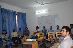
Skip to content
gov

BFIS e-Multimedia

  • HOME
  • IMAGES
  • VIDEOS
  • BFIS
FD_logo

Images

  1. Home>
  2. 2016>
  3. September>
  4. 21>
  5. Images>
  6. Training on QGIS training

Training on QGIS training

  • Post published:September 21, 2016
  • Post category:Capacity Building / Images
Views: 56
Photo credit: BFI team
Previous
Next
148600cookie-checkTraining on QGIS trainingno

You Might Also Like

Tree height measurement using range finder

Tree height measurement using range finder

January 22, 2019
Socioeconomic data collection in Coastal area

Socioeconomic data collection in Coastal area

January 22, 2019
Open foris training

Open foris training

November 6, 2015

Search by Yearly

Categories

Project Name

  • UN-REDD (22)
  • NFI (113)

Recent Posts

  • Technology for better understanding Plant Richness in Bangladesh (BGD Trees)
  • Building tree allometric models for improved national forest estimates in Bangladesh
  • BFI Photo Log
  • Global Tiger Day – 2019
  • This is a test image of Bisanakandi, Sylhet
  • Contact-Us
  • Terms and Conditions
Copyright@ 2018 - Bangladesh Forest Department