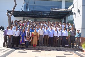
National Consultation on Forest Boundary digitization Post published:April 12, 2016 Post category:Images / Land Record Views: 52 Photo credit: BFI teamPhoto credit: BFI teamPhoto credit: BFI team Previous Next Like224 Dislike28 141400cookie-checkNational Consultation on Forest Boundary digitizationno You Might Also Like Identifying plot center through Hills January 22, 2019 BFI field team training November 9, 2016 Training on Forests Reference Level for REDD+ August 16, 2017