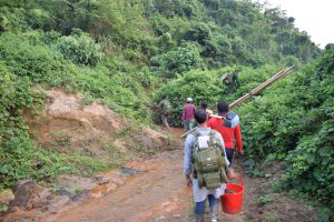
Data recording using DGPS rover in Sundarbans Post published:January 22, 2019 Post category:Bangladesh Forest Inventory / Images Views: 74 Photo credit: Matieu Henry Like224 Dislike28 197800cookie-checkData recording using DGPS rover in Sundarbansno You Might Also Like Launching of Tree species identification app April 12, 2018 Identifying plot center through Hills January 22, 2019 National consultation on LCCS March 16, 2016