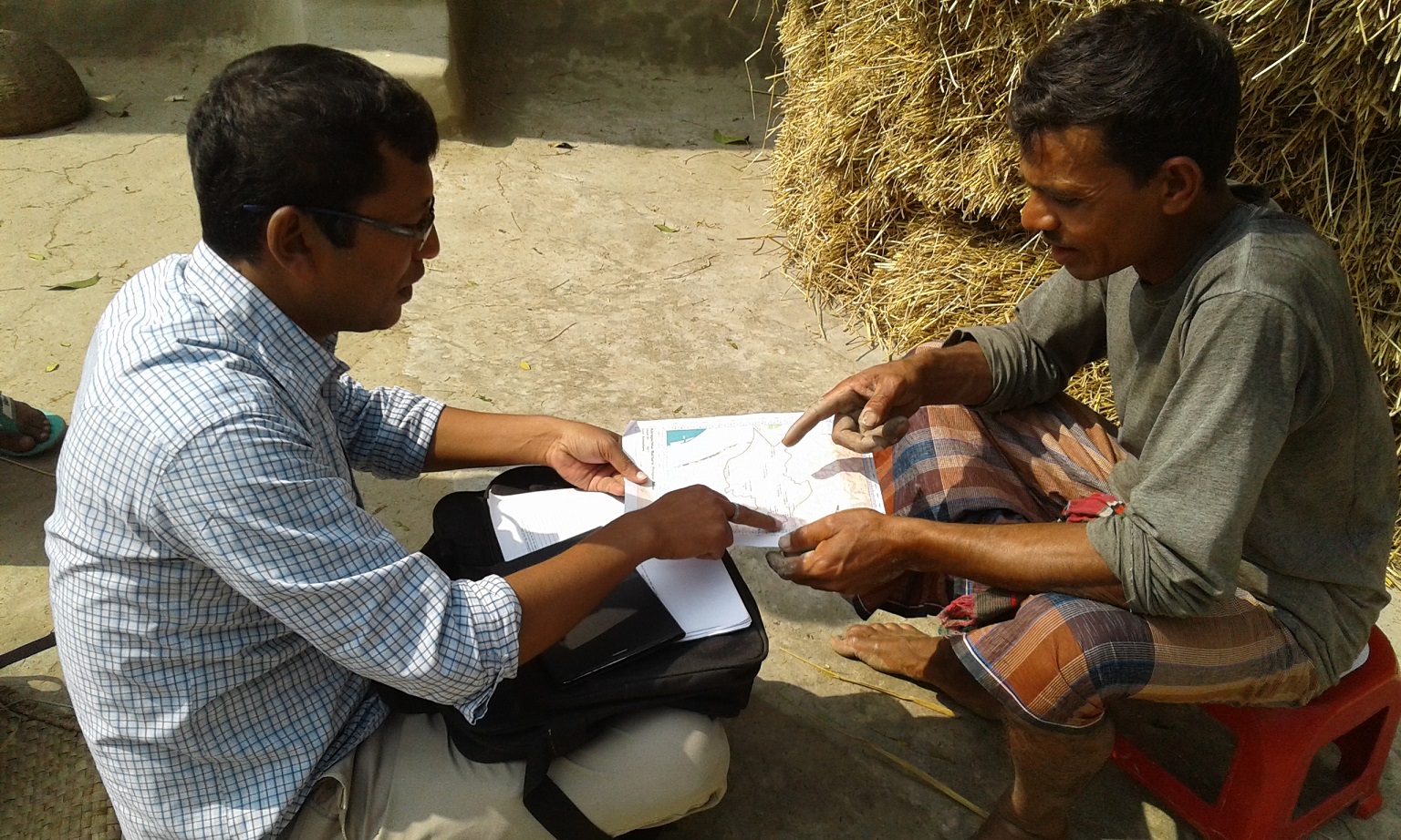
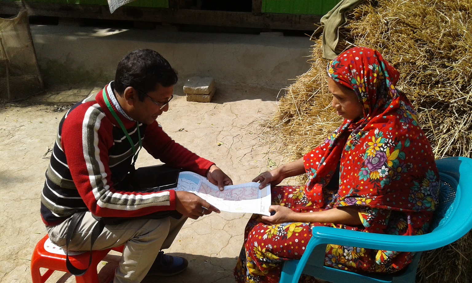
Identifying land class using satellite map in Village Post published:January 22, 2019 Post category:Bangladesh Forest Inventory / Images Views: 85 Photo credit: Nikhil ChakmaPhoto credit: Nikhil Chakma Previous Next Like224 Dislike28 202100cookie-checkIdentifying land class using satellite map in Villageno You Might Also Like Training on Open foris collect April 4, 2018 Workshop on Participatory mapping approach March 22, 2018 Marking an object as reference point and enter the data in tablet in Hobigonj January 22, 2019